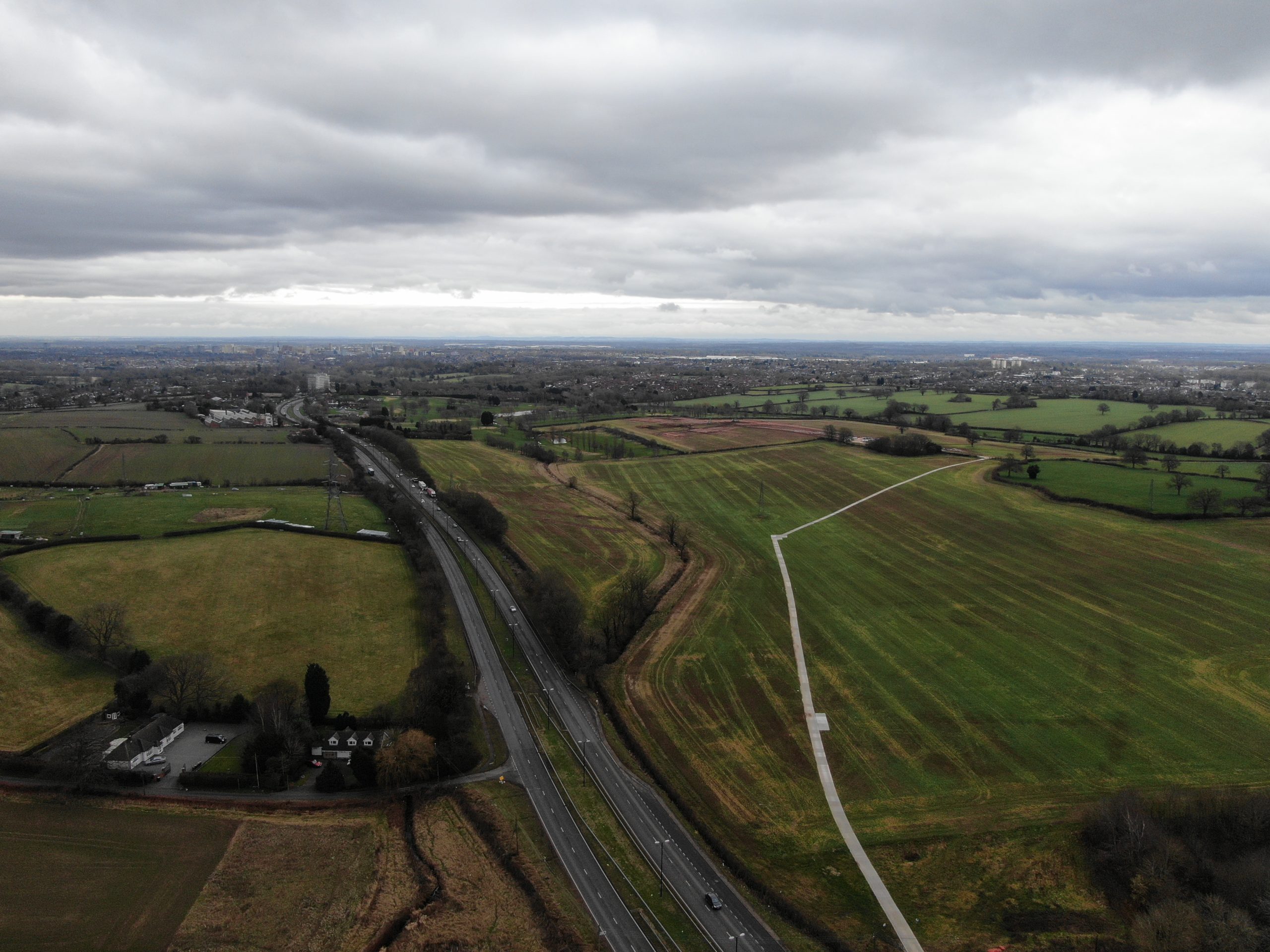
We were instructed to undertake a condition survey and provide a photographic record of a boundary, prior to the construction of a new overpass on a section of the A45 near Coventry.
Utilising both drone technology and traditional photography at ground level, a team of two surveyors covered 15km over the course of a day to ensure that the vast area was recorded in sufficient detail, which could be relied upon on the completion of the new development works. Further to gathering the data, Inform Surveying provided photographs in a digital format, accompanied by a full photographic index with referencing.
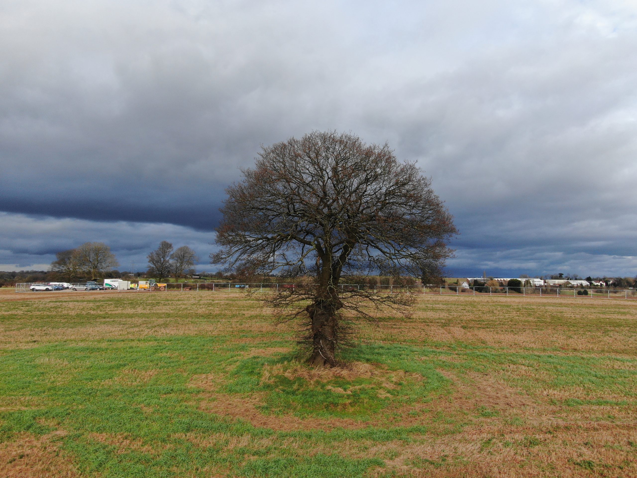
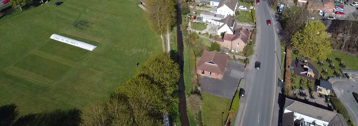
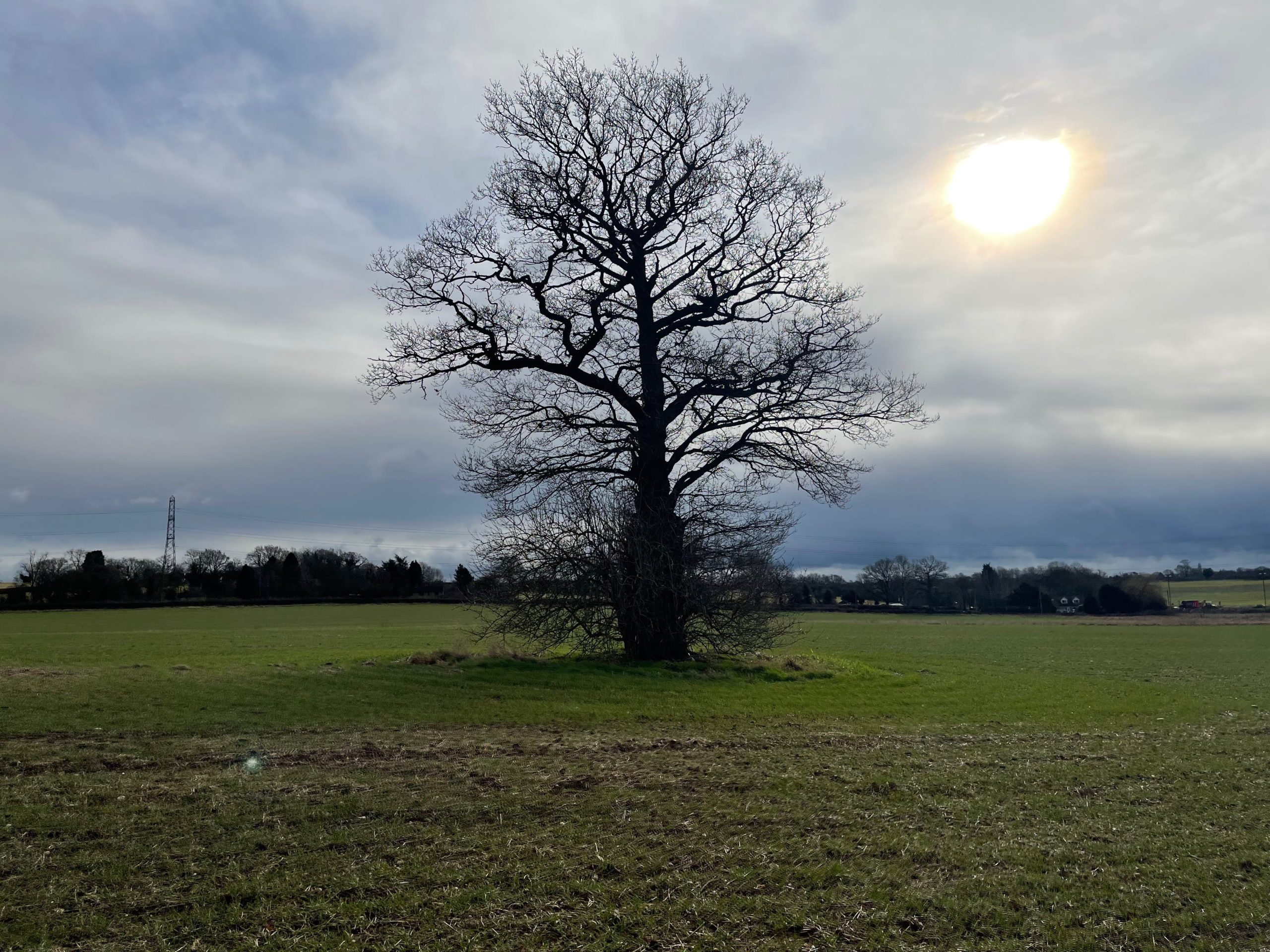
Inform Surveying photographed physical features on the site boundary, including hedgerows, fencing, trees and becks.
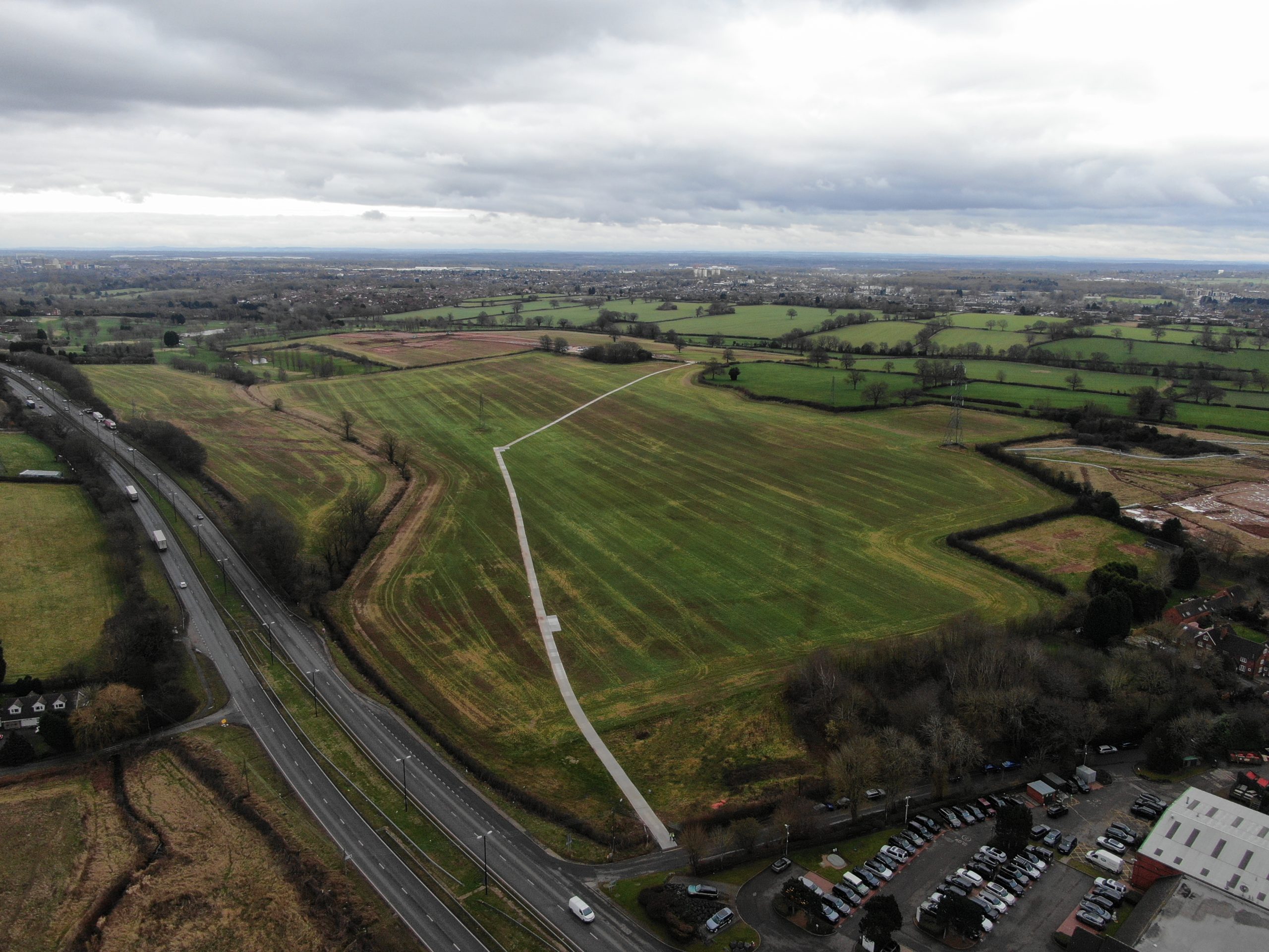
Inform Surveying were requested to attend the site at short notice prior to works commencing. As such, it was vital that the commissioned work was undertaken swiftly so as not to cause programme delays to the client. The size of the land and proximity to the busy A45 meant that careful planning was needed to ensure the works could be completed in a timely manner. Through effective resourcing and utilisation of drone technology, Inform Surveying was able to undertake the survey and issue the report in a timely manner.